

Learn More
DRONE SERVICES, EVERYWHERE, ON DEMAND
- Simple – Our NowMapIt system is easy to use and provides a one-step-shop for drawing your area, choosing your outputs, viewing your results and sharing your findings.
- High Quality – 25 x higher resolution that satellite. Our 2D orthorectified map resolution has a typical GSD of 2.5cm and our elevation data is better than LIDAR.
- Low Cost – Drones are much cheaper to fly than an airplane and can fly closer to the ground. Significant savings can also be made through contract work.
- Up-To-Date – Other Aerial Maps are between 3-5 years old. Ours are up-to-date and can be repeated as many times as you need meaning you can track progress or monitor changes.
- National Coverage – With a network of highly skilled, CAA Licensed and approved drone mapping experts we can complete mapping tasks almost anywhere at any time.
- Secure Processing – Your data is processed offline securely in the UK and your products are delivered to you on a SHA-2 and 2048-bit encrypted account.
- Visualisation – We remove the problems of large unusable files sizes by delivering your products in your own Virtual Unique Environment through our NowMapIt online platform.
- Other Outputs – On request we can also deliver your products for input into your own GIS software packages. A full list of outputs available by GIS software type can be found here .
Contact us now on 0844 351 1020 for more information or learn more about some of the areas where we can help below.
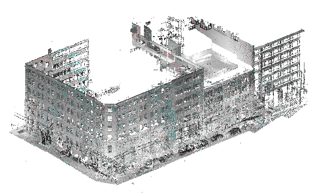
UAV & DRONE MAPPING SERVICEFROM DATA CAPTURE TO DELIVERY
SECTORS
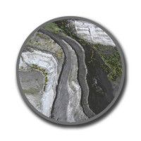
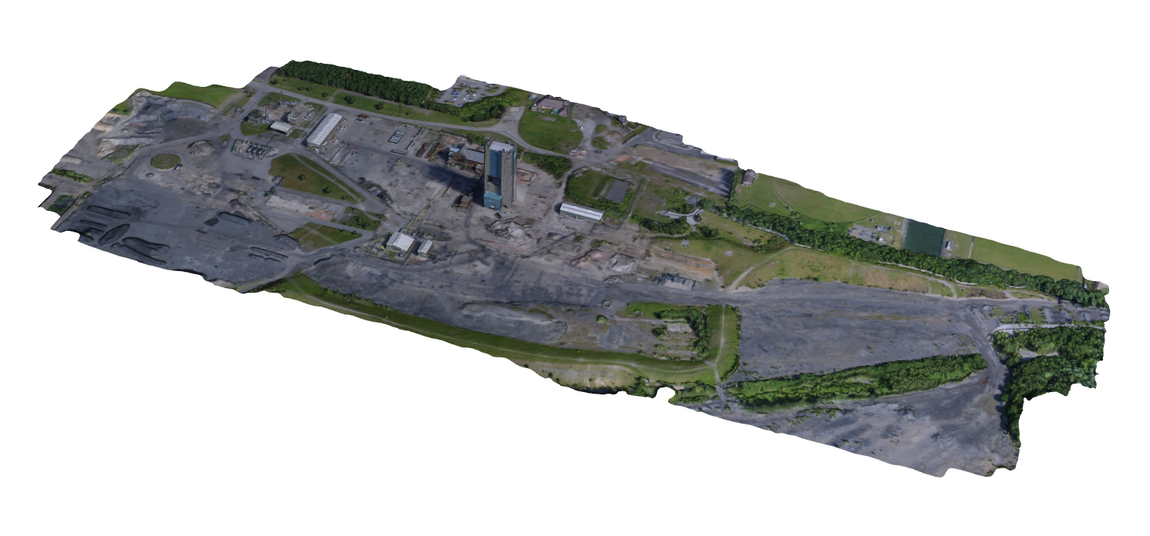
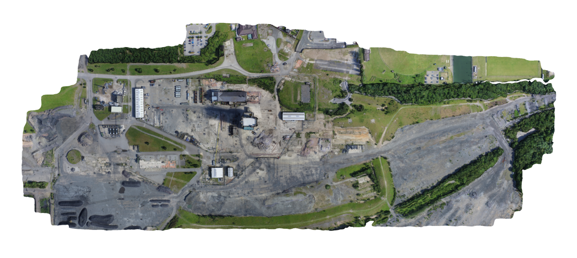
QUARRY MANAGEMENT
Survey Grade 3D models, volumetric and topographical analysis to monitor the quarry and its stockpiles.
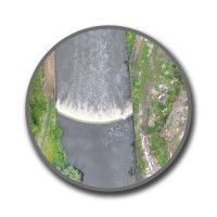
ENVIRONMENTAL MONITORING
Coastal Erosion, River Management and Environmental Impact Assessments drones can produce high-resolution aerial mapping products to monitor the environment.
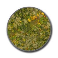
FORESTRY
Monitor forest stocks, review damaged areas and verify firebreaks. High-resolution mappings can help identify plantation sites and potentially diseased trees.
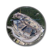
CONSTRUCTION MONITORING
Pre-project assessments and site surveys. Periodic over-flights to monitor Progress. Amazing marketing material on completion.
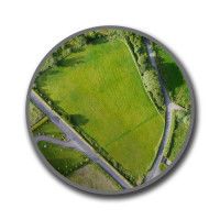
AGRICULTURE AND LAND SURVEY
Highly accurate mapping products to monitor field margin areas, trees, woods, tracks, watercourses, paths and field conditions.
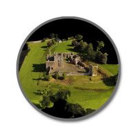
ARCHAEOLOGY
Cost effective immendiate aerial mapping products, 3D Models and Point Clouds for site investigation to help identify areas of interest.
EXAMPLE OUTPUTS
2D GEOTIFF
3D ANIMATION
DOWNLOAD OTHER OUTPUTS FOR GIS SOFTWARE
HOW TO ORDER A MAP

Step 1: Create or Login To Your NowMapIt Account

Step 2: Highlight Area You Need
Step 3: Submit Request, Get Confirmation Then Make Payment

Step 4: Within A Few Days* Receive Your Map
*Please allow up to 30 days to receive your mapping products.
WORK WITH US

Step 1:
Create an Operators’ Account and tell us about you and your business
Step 2: Complete a simple aerial mapping task
Step 3: Gain access to our Missions Database and select the tasks you want
Step 4: Fly missions, upload images and once client is content, get paid!*
*The rate will depend on size and location of task. This will be shown in the Missions Database.